Waterton Canyon Trailhead
The trailhead at the start of the Colorado Trail (yes, the 486-mile one to Durango) and one of the most reliable bighorn-sheep sightings in the Front Range. Easy gravel out-and-back along the Platte. No dogs allowed; that's the trade.
Why it's here
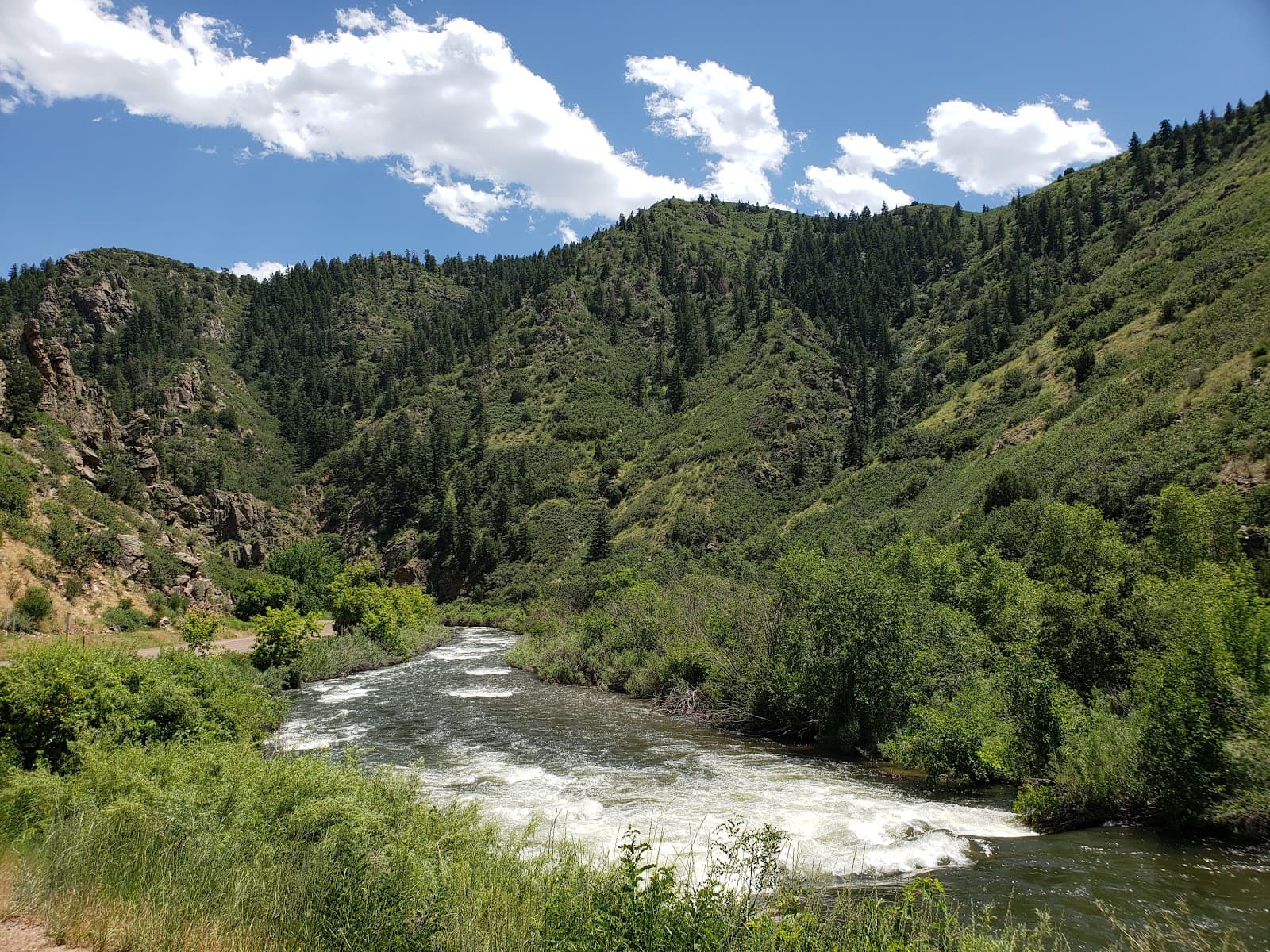
Waterton Canyon Trailhead sits at the south end of Littleton, technically across the line in Jeffco but a 25-minute drive from north Castle Rock and 15 from Highlands Ranch. It's the official mile-zero of the Colorado Trail, the 486-mile route that ends 28 days later in Durango, and the entire 12.4-mile out-and-back through the canyon doubles as the trail's first segment. For most DougCo hikers, the destination is the Strontia Springs Dam at the 6.5-mile mark, where you turn around and come back the way you came.
The terrain is gentler than its length suggests. The first 6.5 miles are a wide, hard-packed dirt road that follows the South Platte River through a canyon walled by Front Range foothills. The grade is mostly flat with a 688-foot total elevation gain spread across the whole length, which means almost any fitness level can do at least the first three miles without struggle. The trail is shared with cyclists and the occasional Denver Water service vehicle; expect company on weekends.
The genuine draw is the bighorn sheep. The canyon is critical habitat for Rocky Mountain bighorns, and the herd of around 50-60 animals is reliable enough that there's a posted sign just before mile 2.5 telling you to start watching. We've seen ewes and lambs in the spring on the south rocks above the trail, and rams in the late fall during the rut. This is one of the more accessible bighorn-viewing trails on the Front Range.
The rule that catches first-timers: no dogs, period. Denver Water and Colorado Parks & Wildlife enforce this to protect the sheep, and rangers will turn you around at the trailhead if you brought a dog. The other gotcha is shade. There's almost none on the canyon-floor stretch, which means summer hikes after 10am get hot fast.
Know before you go
- •The bighorn sheep (look starting at mile 2.5; binoculars help)
- •An out-and-back to Strontia Springs Dam (12.4 miles round trip)
- •Casual 3- or 4-mile family hikes on the canyon-floor stretch
- •Saying you've been to mile zero of the Colorado Trail
Open dawn to dusk, year-round. Spring (April-June) and fall (September-October) are peak. Summer hikes should start before 8am to beat the heat; the canyon floor has almost no shade. Winter is hikeable on most days; the trail is plowed for service vehicles so it's usually walkable even after a storm.
If you don't want to commit to the full 12.4 miles, the 4-mile turnaround at the Mill Gulch picnic area is a solid moderate day. The first bighorn sighting often happens before mile 3, so you don't need to do the full thing to see them. Bring more water than you think you need; there are no fountains past the trailhead.
No dogs allowed. Rangers do enforce this, and you'll be turned around at the gate if you brought one. No shade once you pass the parking lot, so summer afternoons get punishing fast. The road is shared with cyclists who descend at speed; stay right and listen for bells.
Free parking lot at the trailhead off Waterton Road. Fills by 9am on summer Saturdays; arrive before 8am or use the overflow lot a quarter-mile back.
Featured in our coverage
Best for
Details
- Monday: 7:00 AM – 7:00 PM
- Tuesday: 7:00 AM – 7:00 PM
- Wednesday: 7:00 AM – 7:00 PM
- Thursday: 7:00 AM – 7:00 PM
- Friday: 7:00 AM – 7:00 PM
- Saturday: 7:00 AM – 7:00 PM
- Sunday: 7:00 AM – 7:00 PM